Location: Butuceni
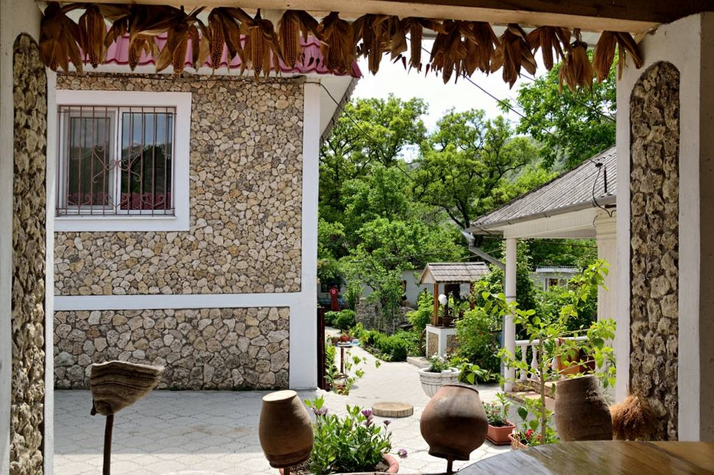
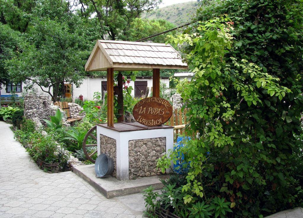
Description: Agro Hotel "The Supper" designed with traditional elements Sights and attractions in the area:

1) archeological complex "Orhei"
- Waves of defense Geto-Dacian
- Waves medieval defense
- Vestiges of the medieval citadel
- Vestiges of stone house
- Exhibition Center
- Pircalab palace relics of Orhei
- Vestiges Tatar bath Vestiges Salt Caravan
- Vestiges mosque
- Monastery and Bosie Pestere
- Geto-Dacian vestiges sanctuary
- Raphael's Hermitage
- Traditional peasant household
3) House and Museum A. Donici

OLD ORHEI
The archeological complex Old Orhei is situated in the valley of a right tributary of Dniestr – Raut River, between the villages Trebujeni and Butuceni, district of Orhei, 60 km North East from Chisinau. It is located in a well marked historic-geographical zone, famous and known among natives since ancient times as “Codrii Orheiului” or “Tara Orheiului” (Orhei land)- once forming a distinct territorial administrative body component of one of the many medieval Romanian countries in the immense Carpathian – Danubian space. At Old Orhei nature and human civilization have blended organically, forming a perfect of millennial work.

The name of the archeological reservation, and respectively, of the museum complex, derives from the name of historical settlement, the medieval city Orhei, existing on these lands since the XV-XVI centuries. The name evolved to Old Orhei after the settlement was left and a new city was founded, having nowadays the same name
The museum complex Old Orhei is a system of historical monuments and natural landscapes situated on meander promontories (headlands), formed by the sinusoidal bed of the Raut river, between the Trebujeni and Butuceni villages. Parts of the Old Orhei complex are two huge promontories (Pestere and Butuceni), joined by other three adjacent promontories (Potarca, Selitra and Scoc) placed in a range from North to Sout.
The central promontory or the exact place of the medieval Orhei and of other archeological sites from different historic eras with a representative architecture such as land walls, citadels, stone complexes, the gate called Pestere (name deriving from the many caves carved in the Raut’s bank). The promontory is of irregular oval shape, oriented from West to East, having a maximal length of 2000 meters and a maximal width of 700 meters, surrounded from three directions (North, East and South) by Raut River’s water, gathered in a very deep canyon, carved in sarmathian limestone layer (of about 16-18 million years old 0, with rocky and steep edges, with a height up to 100-120 meters, forming a genuine natural fortress. Nowadays the only access to the respective place, is in historic times, is in the western part where the river bed in a gradual turn to the North almost reaches a segment of the passed canyon, narrowing greatly the bottom of the promontory (till 100 meter in width), which due to the steep edges on the Northern part represents the only connection with the interior of the described territory. The Northern part of the promontory is a high hill with steep, inaccessible verge edges, which southwards and eastwards descends to a slope becoming the meadow of the Raut river, guarded by the rocky sides of the Butuceni promontory from the opposite bank of Raut. Nowadays, the Branesti - Trebujeni highway crosses the Pestere promontory (located in the northern sector) along its abrupt side, penetrating from the west through the same “access gate” of the promontory, used by the local people for thousands of years. The highway crosses the territory of the headland from the west to the east, descending gradually to a Ferro-concrete bridge on the eastern side of the Trebujeni village. In the central part of the promontory, from the above described highway, a path goes down to Raut river, then turns westwards reaching another modern bridge from reinforced concrete, placed over the Raut on the western part of the Butuceni headland and the Butuceni village.
To the north from Orhei, at about 1.5-3.0 km, three other headlands are found. These are of the same beauty and interest from the viewpoint of landscape and archeological monuments as the other two described already. One of them is placed on the right from the Raut (Potarca), and the other two on the left bank (Selitra and Scoc). To the south from the Butuceni headland, right in front of it, are found “Ruptura Bacotei” with the Chiliilor headland, a steep slope representing a splendid geological monument with plenty of archeological traces
These headlands complete in a substantial way the image of the archeological complex of Old Orhei, adding new natural, historic, cultural elements to the scenery. Since ancient times the Old Orhei area benefits from favorable conditions for agriculture, various occupations and trade development. Among these are: black, fertile soils perfect for an intensive agriculture; rich pasture lands to feed numerous herds of cattle, sheep and goats; limestone for building; clay of different types for building and pottery; navigable flowing waters with plenty of fish, only 7 km away from Dniestr-the largest river east from Carpathians
Culture people mentioned the archeological complex of Old Orhei since XCIII century. Among the illuminated personalities drawing attention upon the antiquities from Old Orhei could be mentioned the great scholar and science man Dmitrie Cantemir, the poet Constantin Stamati, etc. But The historian Vladimir Kurdinovskii for the first time identified the ruins near the Trebujeni and Butuceni villages with the medieval city Orhei. In 1906 he stated”…namely this place, where Raut turns suddenly from Trebujeni towards Butuceni, Orhei was situated…” In 1947 archeological excavations at the Old Orhei complex were initiated by Gheorghe Smirnov. With the help of many researchers they continued for years till present.
Contact Details
Address: Phone(s): Gsm's: |

Do you represent the company La Popas?


